![[UK map]](/img/locationmap.png)
| OSGB36 trig archive spreadsheet - IW | |||||||||||||
|---|---|---|---|---|---|---|---|---|---|---|---|---|---|
| Trig Name | Original Name | New Name | EASTING | NORTHING | HEIGHT | ORDER | TYPE OF MARK | Computing Date | CLASS OF LEVELLING | Date of Levelling | LEVELLING DATUM | DESTROYED MARK INDICATOR | COMMENTS |
| Colne Edge | SD96/T56 | SD96T056 | 388239.64 | 441225.90 | 0.000 | 4 | BURIED BLK | 01/06/1955 | 0 | 0 |
Nearby trigpoints, placenames
There are 8 photos for this trigpoint (view album).
This trigpoint:
Is ranked joint 18676th with 53 other trigs (more).
Has a mean score of 4.13/10 (from 8 logged visits)
Was First logged: 2nd Aug 2013
Has never been found intact
Was Last logged: 1st Mar 2021
Of the 8 logged visits,
2 recorded a location and of these....
All were within 46m
The average error was 23m
The closest was 1m
You are not logged in. You must login if you wish to log a visit.
Selection of photos for this Buried Block. ©painterman61  ©painterman61  By CJO 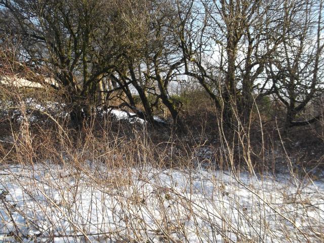 By Earby Rambler See 4 more in the album. |
![]() 1st Mar 2021 10:00 by Mickandkim
1st Mar 2021 10:00 by Mickandkim
Gridref: SD 88200 41200 FB Number: Not logged Condition: Couldn't find it Score: 2/10
Lots of brambles
![]() 17th Apr 2020 15:47 by painterman61
17th Apr 2020 15:47 by painterman61
FB Number: Not logged Condition: Couldn't find it Score: 5/10
great views from here but no find its a tump as well
![]() Site ©painterman61
Site ©painterman61![]() View ©painterman61
View ©painterman61
![]() 25th Jun 2019 10:21 by FrankR
25th Jun 2019 10:21 by FrankR
FB Number: Not logged Condition: Not Logged Score: 2/10
![]() 10th Aug 2017 16:03 by PeteBoggs
10th Aug 2017 16:03 by PeteBoggs
FB Number: Not logged Condition: Couldn't find it Score: 3/10
As others have said in a very overgrown spot in an orchard
![]() 20th Jun 2015 13:50 by CJO
20th Jun 2015 13:50 by CJO
FB Number: Not logged Condition: Couldn't find it Score: 5/10
In Derek's Orchard - also a TUMP. Didn't really look for this as we where here to bag the TUMP and we don;t really "do" buried blocks.
![]() 9th May 2015 14:44 by pendlelill
9th May 2015 14:44 by pendlelill
Gridref: SD 88240 41225 FB Number: Not logged Condition: Couldn't find it Score: 5/10
sw side of 'dereks orchard' in bramble patch. 1947 map at pendle.gov shows location but very overgrown.
![]() 30th Jan 2015 14:31 by Earby Rambler
30th Jan 2015 14:31 by Earby Rambler
FB Number: Not logged Condition: Couldn't find it Score: 6/10
I had a quick look around,Orchard now planted around block location so didn't bother trudging around in the snow & brambles.I gave it a 6 due to Panoramic view towards Yorkshire Dales.
![]() Alkincoats Woodland.
Alkincoats Woodland. ![]() Dereks Orchard.
Dereks Orchard. ![]() GPS Location.
GPS Location. ![]() Panoramic towards Yorkshire Dales.
Panoramic towards Yorkshire Dales. ![]() Info Board.
Info Board.
![]() 2nd Aug 2013 10:40 by dugswell2
2nd Aug 2013 10:40 by dugswell2
FB Number: Not logged Condition: Couldn't find it Score: 5/10
Tump bagging.
![[map]](/img/trig-map.png.php?t=17301&b=2&l=0&)