![[UK map]](/img/locationmap.png)
| OSGB36 trig archive spreadsheet - IW | |||||||||||||
|---|---|---|---|---|---|---|---|---|---|---|---|---|---|
| Trig Name | Original Name | New Name | EASTING | NORTHING | HEIGHT | ORDER | TYPE OF MARK | Computing Date | CLASS OF LEVELLING | Date of Levelling | LEVELLING DATUM | DESTROYED MARK INDICATOR | COMMENTS |
| Mynydd Marian | SH57/T49 | SH57T049 | 289392.30 | 378015.68 | 0.000 | 3 | BLOCK | 01/06/1985 | 0 | 1 | Dest 02/87 | ||
| Mynydd Marian | SH57/T49 | SH57T049 | 289392.22 | 378015.38 | 0.000 | 4 | BLOCK | 01/06/1954 | 0 | 1 | Recomputed 1985 |
Nearby trigpoints, placenames
There is 1 photo for this trigpoint (view album).
This trigpoint:
Is ranked joint 10732nd with 714 other trigs (more).
Has a mean score of 5.00/10 (from 2 logged visits)
Was First logged: 26th Nov 2015
Has never been found intact
Was Last logged: 3rd Jun 2018
Of the 2 logged visits,
0 recorded a location
You are not logged in. You must login if you wish to log a visit.
Selection of photos for this Block.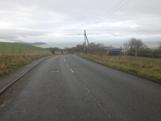 ©tigger4242 |
![]() 3rd Jun 2018 13:33 by Ant1974
3rd Jun 2018 13:33 by Ant1974
FB Number: Not logged Condition: Destroyed Score: 5/10
![]() 26th Nov 2015 11:08 by tigger4242
26th Nov 2015 11:08 by tigger4242
FB Number: Not logged Condition: Destroyed Score: 5/10
Nothing to see. Photo of general area
![]() ©tigger4242
©tigger4242
![[map]](/img/trig-map.png.php?t=17726&b=2&l=0&)