![[UK map]](/img/locationmap.png)
| OSGB36 trig archive spreadsheet - IW | |||||||||||||
|---|---|---|---|---|---|---|---|---|---|---|---|---|---|
| Trig Name | Original Name | New Name | EASTING | NORTHING | HEIGHT | ORDER | TYPE OF MARK | Computing Date | CLASS OF LEVELLING | Date of Levelling | LEVELLING DATUM | DESTROYED MARK INDICATOR | COMMENTS |
| Tanners Farm | SU77/T91 | SU77T091 | 470699.44 | 177169.17 | 0.000 | 3 | BURIED BLK | 01/06/1951 | 0 | 1 | Dest 02/78 |
Nearby trigpoints, placenames
There are 2 photos for this trigpoint (view album).
This trigpoint:
Is ranked joint 10729th with 710 other trigs (more).
Has a mean score of 5.00/10 (from 2 logged visits)
Was First logged: 28th Jul 2019
Has never been found intact
Was Last logged: 3rd Mar 2021
Of the 2 logged visits,
0 recorded a location
You are not logged in. You must login if you wish to log a visit.
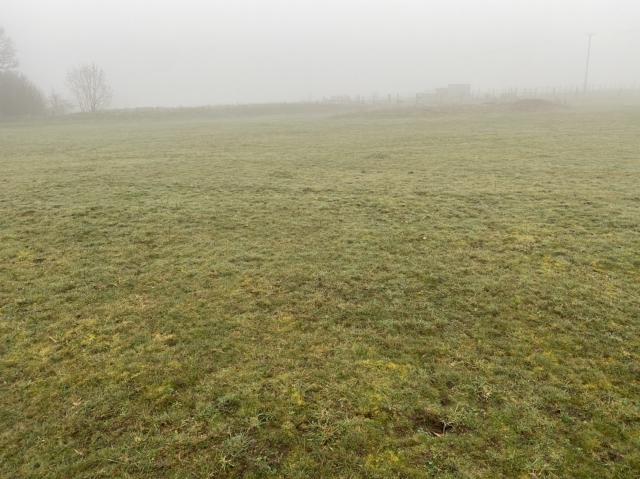
![]() 3rd Mar 2021 09:05 by TrigJS
3rd Mar 2021 09:05 by TrigJS
FB Number: Not logged Condition: Couldn't find it Score: 5/10
Block should be located at the edge of a grass field. I couldnt find the block. I parked to the south and walked to the location on the footpath.
![]() TP21603 Approximate position where the block should be located.
TP21603 Approximate position where the block should be located.
![]() 28th Jul 2019 08:04 by Trigger
28th Jul 2019 08:04 by Trigger
FB Number: Not logged Condition: Couldn't find it Score: 5/10
![[map]](/img/trig-map.png.php?t=21603&b=2&l=0&)