![[UK map]](/img/locationmap.png)
| OSGB36 trig archive spreadsheet - IW | |||||||||||||
|---|---|---|---|---|---|---|---|---|---|---|---|---|---|
| Trig Name | Original Name | New Name | EASTING | NORTHING | HEIGHT | ORDER | TYPE OF MARK | Computing Date | CLASS OF LEVELLING | Date of Levelling | LEVELLING DATUM | DESTROYED MARK INDICATOR | COMMENTS |
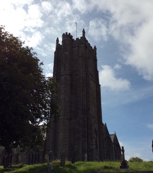
| St Stephens Ch Twr | SX76/T84 | SX76T084 | 241687.54 | 58340.43 | 0.000 | 3 | BOLT | 01/06/1946 | 0 | 0 | |||
| St Stephens Ch Twr | SX76/T84 | SX76T084 | 241688.29 | 58340.93 | 0.000 | 3 | FLAGSTAFF | 01/06/1946 | 0 | 0 |
Nearby trigpoints, placenames
There are 3 photos for this trigpoint (view album).
This trigpoint:
Is ranked joint 2576th with 59 other trigs (more).
Has a mean score of 7.00/10 (from 1 logged visits)
Was First logged: 16th Aug 2017
Has never been found intact
Was Last logged: 16th Aug 2017
Of the 1 logged visits,
0 recorded a location
You are not logged in. You must login if you wish to log a visit.
![[map]](/img/trig-map.png.php?t=21865&b=2&l=0&)