![[UK map]](/img/locationmap.png)
Nearby trigpoints, placenames
There are 3 photos for this trigpoint (view album).
This trigpoint:
Is ranked joint 16937th with 55 other trigs (more).
Has a mean score of 4.43/10 (from 7 logged visits)
Was First logged: 18th Jan 2004
Has never been found intact
Was Last logged: 25th Oct 2021
Of the 7 logged visits,
0 recorded a location
You are not logged in. You must login if you wish to log a visit.
Selection of photos for this Pillar. By CJO  By Griefmiester 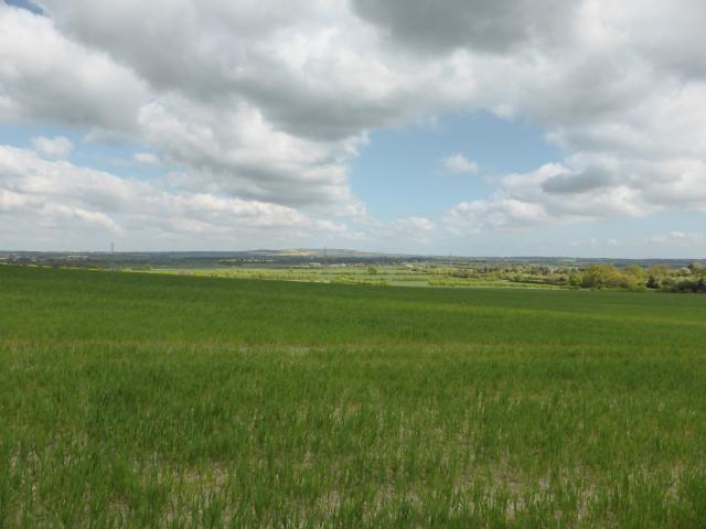 ©plet56 |
![]() 25th Oct 2021 11:36 by A1Mushroom
25th Oct 2021 11:36 by A1Mushroom
FB Number: Not logged Condition: Destroyed Score: 5/10
Parked at the gate and walked up to the barn at the edge of the field.
![]() 27th Aug 2019 17:03 by WanderingSal
27th Aug 2019 17:03 by WanderingSal
FB Number: Not logged Condition: Destroyed Score: 5/10
![]() 10th Apr 2017 11:59 by CJO
10th Apr 2017 11:59 by CJO
FB Number: Not logged Condition: Destroyed Score: 5/10
Paying homage to the "Teasel" trig's original location. Large cropped field.
![]() 18th Mar 2017 18:47 by Ant1974
18th Mar 2017 18:47 by Ant1974
FB Number: Not logged Condition: Destroyed Score: 5/10
![]() 18th Aug 2016 06:50 by Griefmiester
18th Aug 2016 06:50 by Griefmiester
FB Number: Not logged Condition: Destroyed Score: 3/10
Parking to the S then along ROW - Pillar is long gone, not that I was expecting to find anything. I suppose "knocked over by bombing in 1940" is a reasonable excuse! The replacement was sold on Ebay and was moved to Derbyshire, and then to Cambridgeshire. Logged for completeness, to tidy up the map, and to get it off my TomTom and me seeing it every time I drive this section of the M25.
![]() 19th Apr 2014 15:21 by plet56
19th Apr 2014 15:21 by plet56
FB Number: Not logged Condition: Destroyed Score: 5/10
Nice view but definitely no pillar
![]() ©plet56
©plet56
![]() 18th Jan 2004 12:00 by peregrinus
18th Jan 2004 12:00 by peregrinus
FB Number: Not logged Condition: Destroyed Score: 3/10
open arable field: no trace Jan04 (crop not grown). www.bench-marks.org.uk/bm20871 states: pillar apparently knocked over by bombing in 1940; later replaced by new pillar [TQ47/T101] with same name using FB S3353. Evidently its replacement S3353 was elsewhere on the farm at the time of my visit. It turned up 2 years later in Derbyshire...
![[map]](/img/trig-map.png.php?t=8117&b=2&l=0&)