![[UK map]](/img/locationmap.png)
| OSGB36 trig archive spreadsheet - IW | |||||||||||||
|---|---|---|---|---|---|---|---|---|---|---|---|---|---|
| Trig Name | Original Name | New Name | EASTING | NORTHING | HEIGHT | ORDER | TYPE OF MARK | Computing Date | CLASS OF LEVELLING | Date of Levelling | LEVELLING DATUM | DESTROYED MARK INDICATOR | COMMENTS |
| Carterhall Farm | SK58/T45 | SK58T045 | 438984.42 | 381628.41 | 0.000 | 4 | BOLT | 01/06/1952 | 0 | 0 | Bolt in rock is buried |
Nearby trigpoints, placenames
There are 2 photos for this trigpoint (view album).
This trigpoint:
Is ranked joint 8693rd with 865 other trigs (more).
Has a mean score of 5.00/10 (from 1 logged visits)
Was First logged: 3rd Dec 2016
Has never been found intact
Was Last logged: 3rd Dec 2016
Of the 1 logged visits,
0 recorded a location
You are not logged in. You must login if you wish to log a visit.
![]() 3rd Dec 2016 15:00 by CJO
3rd Dec 2016 15:00 by CJO
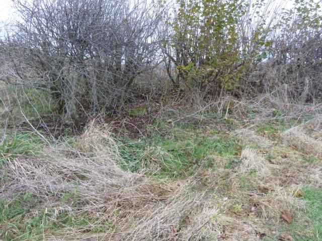
FB Number: Not logged Condition: Couldn't find it Score: 5/10
GR is in the corner of a field turned to grass. Soil very rocky so finding a buried rock here will be difficult. Bridleway very popular.
![]() Carterhall Farm
Carterhall Farm ![]() Carterhall Farm
Carterhall Farm
![[map]](/img/trig-map.png.php?t=18874&b=2&l=0&)