![[UK map]](/img/locationmap.png)
| OSGB36 trig archive spreadsheet - IW | |||||||||||||
|---|---|---|---|---|---|---|---|---|---|---|---|---|---|
| Trig Name | Original Name | New Name | EASTING | NORTHING | HEIGHT | ORDER | TYPE OF MARK | Computing Date | CLASS OF LEVELLING | Date of Levelling | LEVELLING DATUM | DESTROYED MARK INDICATOR | COMMENTS |
| Mudstone Hill | SX76/T162 | SX76T162 | 292999.76 | 55160.72 | 0.000 | 4 | BURIED BLK | 01/06/1950 | 0 | 1 | Dest 06/78 |
Nearby trigpoints, placenames
There is 1 photo for this trigpoint (view album).
This trigpoint:
Is ranked joint 21084th with 97 other trigs (more).
Has a mean score of 2.00/10 (from 1 logged visits)
Was First logged: 31st May 2016
Has never been found intact
Was Last logged: 31st May 2016
Of the 1 logged visits,
0 recorded a location
You are not logged in. You must login if you wish to log a visit.
Selection of photos for this Buried Block.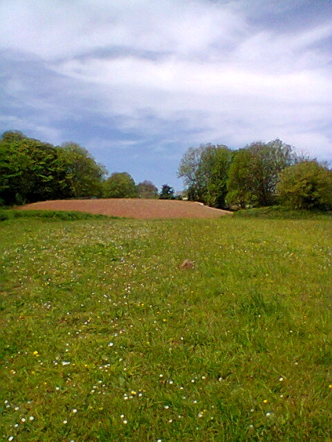 ©Stevie Boy |
![]() 31st May 2016 11:49 by Stevie Boy
31st May 2016 11:49 by Stevie Boy
FB Number: Not logged Condition: Destroyed Score: 2/10
Path to St Marys Beach. Nice coastal view. Unsure of actual location. Plush flats nearby
![]() possible spot ©Stevie Boy
possible spot ©Stevie Boy
![[map]](/img/trig-map.png.php?t=21774&b=2&l=0&)