![[UK map]](/img/locationmap.png)
| OSGB36 trig archive spreadsheet - IW | |||||||||||||
|---|---|---|---|---|---|---|---|---|---|---|---|---|---|
| Trig Name | Original Name | New Name | EASTING | NORTHING | HEIGHT | ORDER | TYPE OF MARK | Computing Date | CLASS OF LEVELLING | Date of Levelling | LEVELLING DATUM | DESTROYED MARK INDICATOR | COMMENTS |
| Fosse Hill | TA43/T53 | TA43T053 | 538411.55 | 419555.12 | 9.692 | 3 | BLOCK | 01/06/1939 | 1 | 01/06/1966 | N | 1 | Dest 05/88 |
Nearby trigpoints, placenames
There are 3 photos for this trigpoint (view album).
This trigpoint:
Is ranked joint 22961st with 56 other trigs (more).
Has a mean score of 2.33/10 (from 3 logged visits)
Was First logged: 6th Aug 2016
Has never been found intact
Was Last logged: 27th Oct 2019
Of the 3 logged visits,
0 recorded a location
You are not logged in. You must login if you wish to log a visit.
Selection of photos for this Block. By peregrinus 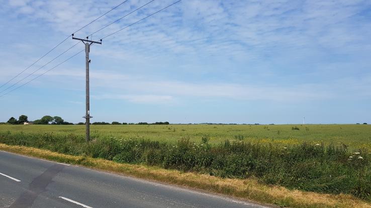 ©eon  By ted |
![]() 27th Oct 2019 15:36 by peregrinus
27th Oct 2019 15:36 by peregrinus
FB Number: Not logged Condition: Destroyed Score: 5/10
Middle of large arable field, destroyed 05/88, presumably when hedge removed or by plough soon after
![]() 24th Jun 2018 11:55 by eon
24th Jun 2018 11:55 by eon
FB Number: Not logged Condition: Destroyed Score: 2/10
(830) Parked up at the communications tower, and viewed the general area from the roadside verge a bit further down from there. Block reported destroyed in the 80s.
![]() Fosse Hill. ©eon
Fosse Hill. ©eon
![]() 6th Aug 2016 14:30 by ted
6th Aug 2016 14:30 by ted
FB Number: Not logged Condition: Destroyed Score: 0/10
Middle of an open field. The location seems to align with a hedge to the NW so would guess that the boundary has been removed.
![]() Fosse Hill site
Fosse Hill site
![[map]](/img/trig-map.png.php?t=21937&b=2&l=0&)