![[UK map]](/img/locationmap.png)
| OSGB36 trig archive spreadsheet - IW | |||||||||||||
|---|---|---|---|---|---|---|---|---|---|---|---|---|---|
| Trig Name | Original Name | New Name | EASTING | NORTHING | HEIGHT | ORDER | TYPE OF MARK | Computing Date | CLASS OF LEVELLING | Date of Levelling | LEVELLING DATUM | DESTROYED MARK INDICATOR | COMMENTS |
| Scopwick Wtr Twr | TF05/T46 | TF05T046 | 506510.25 | 358493.61 | 0.000 | 3 | BOLT | 01/06/1950 | 0 | 1 | Dest 02/78 |
Nearby trigpoints, placenames
There are 5 photos for this trigpoint (view album).
This trigpoint:
Is ranked joint 23120th with 31 other trigs (more).
Has a mean score of 2.60/10 (from 5 logged visits)
Was First logged: 14th Nov 2015
Has never been found intact
Was Last logged: 24th May 2020
Of the 5 logged visits,
0 recorded a location
You are not logged in. You must login if you wish to log a visit.
Selection of photos for this Bolt. By peregrinus 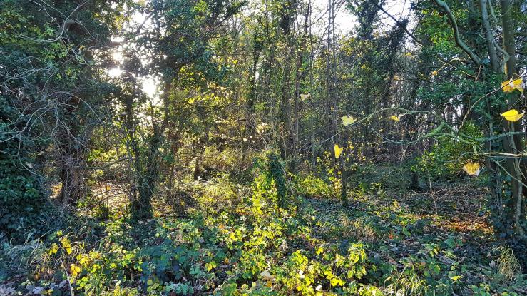 ©eon  By Brisey  By Brisey See 1 more in the album. |
![]() 24th May 2020 10:00 by peregrinus
24th May 2020 10:00 by peregrinus
FB Number: Not logged Condition: Destroyed Score: 5/10
GPS says 4m S of garden fence (in wood), a few garden related items further back. used to host a FB
![]() 4th Nov 2018 15:51 by Ant1974
4th Nov 2018 15:51 by Ant1974
FB Number: Not logged Condition: Destroyed Score: 5/10
![]() 18th Nov 2017 09:25 by eon
18th Nov 2017 09:25 by eon
FB Number: Not logged Condition: Destroyed Score: 2/10
(358) Parked up down Bloxholm Road, and viewed the general location from there. Nothing to see, alas.
![]() Scopwick Water Tower - location ©eon
Scopwick Water Tower - location ©eon
![]() 29th Sep 2016 15:48 by Brisey
29th Sep 2016 15:48 by Brisey
FB Number: Not logged Condition: Destroyed Score: 1/10
The site is a copse with quite mature trees so the water tower must have gone quite some time ago. The OS legacy database says destroyed 1978.
![]() The copse and former location
The copse and former location ![]() 1953 1:25000 map extract
1953 1:25000 map extract
![]() 14th Nov 2015 09:00 by ted
14th Nov 2015 09:00 by ted
FB Number: Not logged Condition: Destroyed Score: 0/10
Woodland on S side of minor road. No remains of tower visible.
![]() Scopwick Wtr Twr site
Scopwick Wtr Twr site
![[map]](/img/trig-map.png.php?t=21988&b=2&l=0&)