![[UK map]](/img/locationmap.png)
| OSGB36 trig archive spreadsheet - IW | |||||||||||||
|---|---|---|---|---|---|---|---|---|---|---|---|---|---|
| Trig Name | Original Name | New Name | EASTING | NORTHING | HEIGHT | ORDER | TYPE OF MARK | Computing Date | CLASS OF LEVELLING | Date of Levelling | LEVELLING DATUM | DESTROYED MARK INDICATOR | COMMENTS |
| Redgrave | TM17/T32 | TM17T032 | 606004.59 | 278900.50 | 48.127 | 3 | PILLAR | 01/06/1953 | 1 | 01/06/1970 | N | 1 | REPORTED DESTROYED 03/95 |
Nearby trigpoints, placenames
There are 4 photos for this trigpoint (view album).
This trigpoint:
Is ranked joint 4585th with 77 other trigs (more).
Has a mean score of 5.80/10 (from 5 logged visits)
Was First logged: 18th Jan 2003
Has never been found intact
Was Last logged: 3rd Apr 2018
Of the 5 logged visits,
0 recorded a location
You are not logged in. You must login if you wish to log a visit.
Selection of photos for this Pillar. By CJO  By CJO 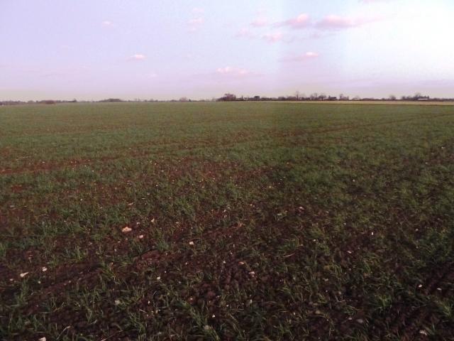 By peregrinus 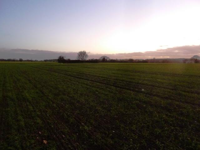 By peregrinus |
![]() 3rd Apr 2018 12:44 by CJO
3rd Apr 2018 12:44 by CJO
FB Number: Not logged Condition: Destroyed Score: 5/10
No sign, including in the adjacent scrubby farm yard.
![]() Redgrave adjacent farm, no pillar immediately obvious
Redgrave adjacent farm, no pillar immediately obvious![]() Redgrave location
Redgrave location
![]() 29th Mar 2018 20:59 by Ant1974
29th Mar 2018 20:59 by Ant1974
FB Number: Not logged Condition: Destroyed Score: 5/10
![]() 25th Oct 2014 16:45 by Tomaszewski
25th Oct 2014 16:45 by Tomaszewski
FB Number: S1977 Condition: Destroyed Score: 8/10
Walked from nearby church following footpath and edge of field . No sign of trig lots of deer in field though . Nice views all around and sun was low in the sky .
![]() 3rd Dec 2011 16:20 by peregrinus
3rd Dec 2011 16:20 by peregrinus
FB Number: Not logged Condition: Destroyed Score: 5/10
Revisit for pics. Arable field. Had a pretty good look around, but worth checking the weedy farmyard to N which is where track leads.
![]() ExTrig site looking E
ExTrig site looking E ![]() ExTrig site looking SW
ExTrig site looking SW
![]() 18th Jan 2003 12:00 by peregrinus
18th Jan 2003 12:00 by peregrinus
FB Number: Not logged Condition: Destroyed Score: 6/10
no trace of TP jan03; extensive view N; S1977 on OS.db; Landline shows TP in open field 200m ENE of pond. OS trig archive states REPORTED DESTROYED 03/95
![[map]](/img/trig-map.png.php?t=5623&b=2&l=0&)