GPS plaques


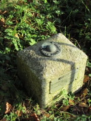
Approximately 200 OSGB36 triangulation pillars were redesignated as Passive stations which in turn form part of the Ordnance Survey National GPS Network. In 1999/2000, in order to reduce the risk of damage to these stations, aluminium plates were attached. Similar plates were also added to many Fundamental Benchmarks.
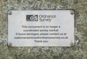
The wording of the plate is:
"This monument forms part of the Ordnance Survey GPS National Network.
It is an offence to damage it.
If found damaged please ring our helpline on 08456 05 05 05
Thank you
July 1999"
The plaque installation is described as follows [1]: "The plates were made by a company in Eastleigh, Hampshire. They were fixed using screws with tamper proof heads. Actually the screws were never “screwed”. The team used a battery masonry drill to drill 4 suitably placed holes. The holes were blown out with compressed air and then filled with a builder’s resin. The plate was coated on the back with the resin to avoid water ingress and then offered up. The screws were then simply pushed into the resin and held in place with some tape. The resin fully cured in 15 minutes."
Since installation, many GPS plaques have been lost to vandalism.
Special OS commemorative plaques mark the first and last observations to be made from triangulation pillars.
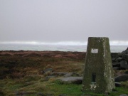
Numerous non-OS plaques have been attached to trig pillars; examples include Abney Moor, Hoon Mount and High Wheeldon.
References
- ↑ email from Ian Wilson to the Trigonomy mailing list, 22/11/2009